Service 01 / 07Layer · Target zones
Mineral Exploration
Exploration programmes and fieldwork for licence holders, from targeting and mapping to trenching, sampling and drilling.
- Target generation and mineral-system modelling
- Geological mapping and quartz-vein tracing
- Trenching, soil geochemistry and QA/QC
- Daily field reporting to the licence holder
Service details
Service 02 / 07Layer · Survey lines
Surveys & GIS
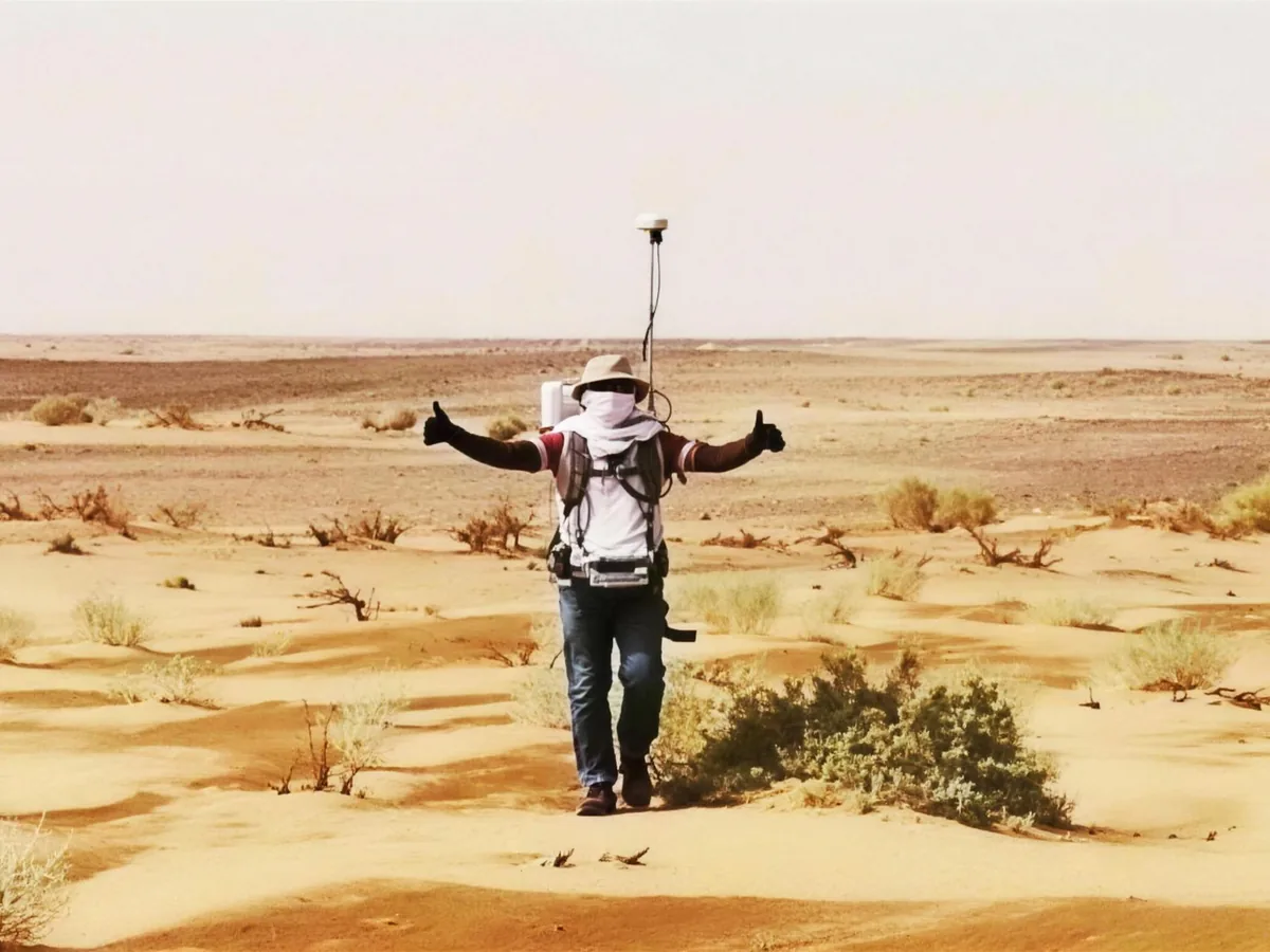
Ground geophysical surveys, including induced polarisation, and geomatic surveying licensed by GEOSA, with GIS mapping and analysis.
- Magnetic, VLF, electrical and electromagnetic surveys
- Induced polarisation (IP) and resistivity surveys
- Licensed geomatic surveying, aerial mapping and lidar
- Geodatabases, cartography and spatial analysis
Service details
Service 03 / 07Layer · Borehole strip logs
Drilling & Well Logging
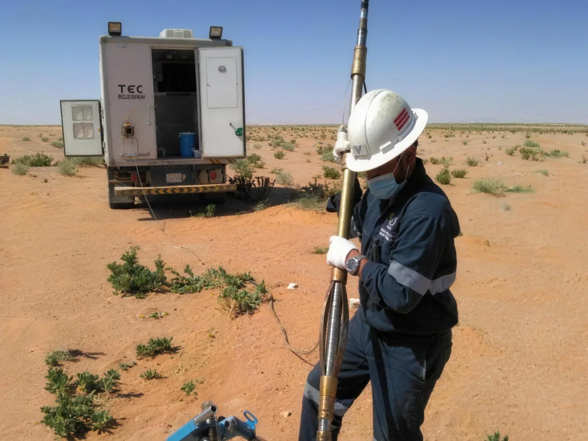
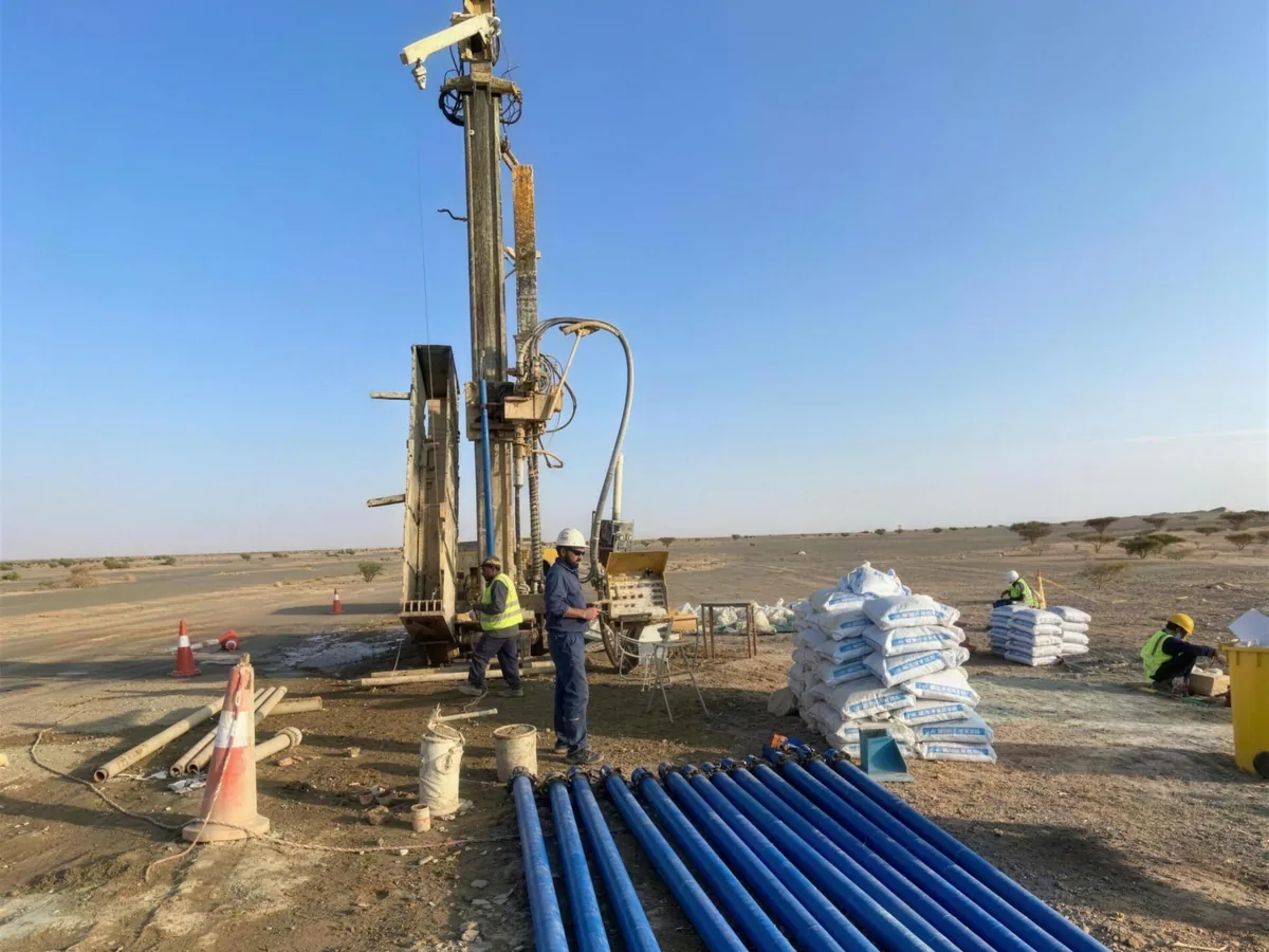
Core, DTH and water-well drilling with ASBAR’s own rigs, and logging, imaging and integrity testing of boreholes and wells.
- Diamond-core and DTH drilling with our own rigs
- Water wells, piezometers and monitoring wells
- OPTV and ATV televiewer imaging of boreholes
- CBL/CCL integrity and flowmeter logging
Service details
Service 04 / 07Layer · Water table
Groundwater
Groundwater and geothermal hydrogeology, water-well condition surveys, well testing and monitoring networks.
- Aquifer assessment, including alluvial aquifers
- Water-well condition surveys
- Pumping, injection, airlift and slug tests
- Geothermal hydrogeology and monitoring networks
Service details
Service 05 / 07Layer · Sampling grid
Testing & Analysis
Field sampling by ASBAR, with laboratory and radiological analysis delivered by the Technology Experts group.
- Sampling of water, soil, rock and sludge
- Geochemistry and water quality in the group’s laboratories
- Radiological analysis and NORM work by the group
- Spectral-gamma surveys and radiological risk assessment
Service details
Service 06 / 07Layer · Site rehabilitation
Environment & Rehabilitation
Environmental studies and rehabilitation for mining and industry, delivered with the Technology Experts group.
- Environmental permit applications and impact assessment
- Environmental audits and management plans
- Rehabilitation plans for degraded sites
- Contaminated-soil treatment
Service details
Service 07 / 07Layer · Reading the map
Training
Specialist programmes in geology and mining, delivered with international partners.
- Field geology and geological mapping
- Geophysical methods, acquisition to interpretation
- Geophysical well logging and borehole imaging
- Remote sensing, GNSS and GIS
Service details